Shoreline Change
Beach profile monitoring and shoreline change modelling
The USGS (and myself) study shoreline change in a variety of ways. Since a lot happens where water meets land, knowing how it changes through time (and will into the future) is super important. In terms of observing shoreline change, we use a variety of platforms, inclueding GPS surveys with backpacks, ATVs, Jetskis, boats, etc. We also increasingly use arial photography and satellite data.


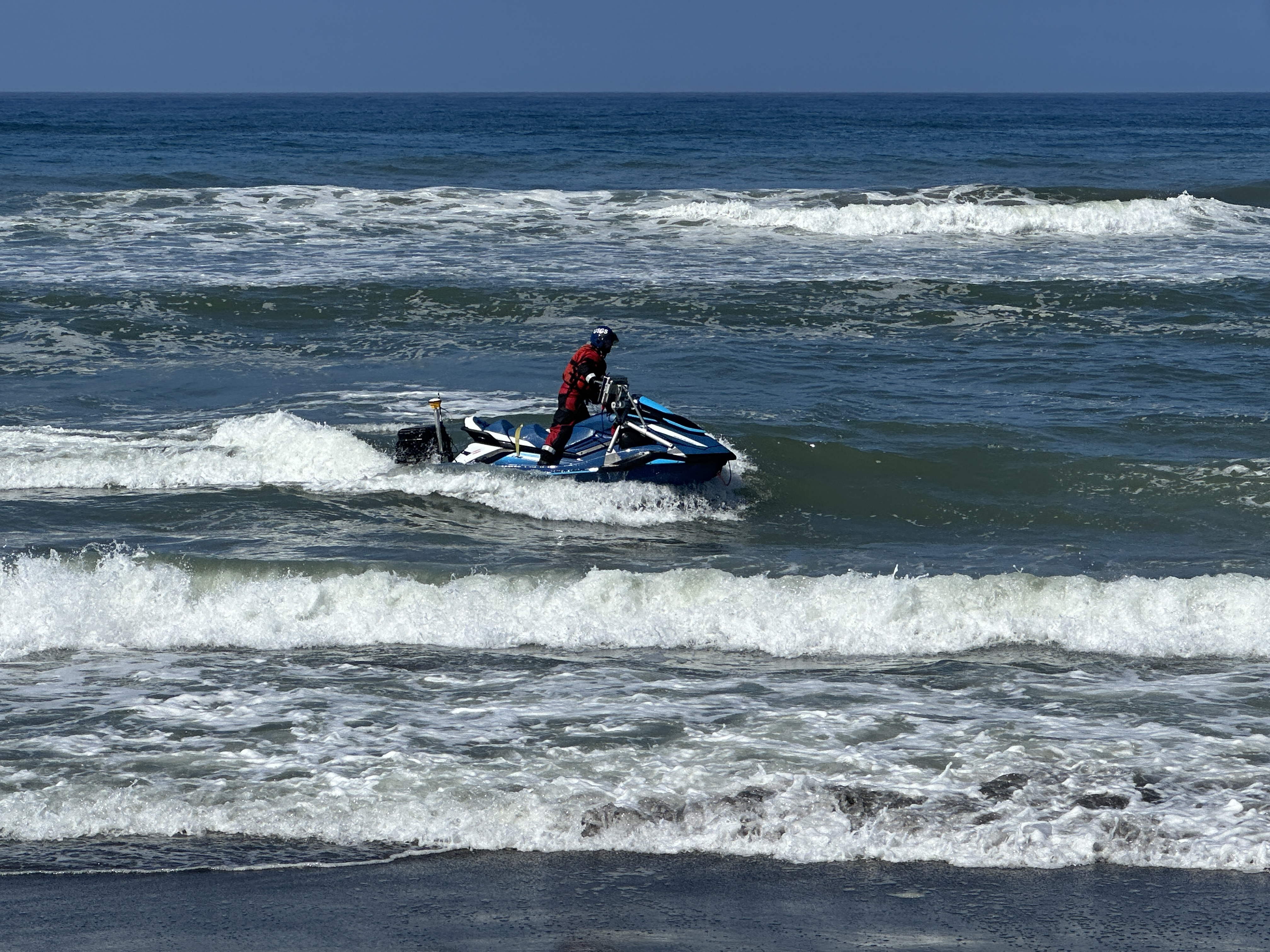
We use these data to monitor the beach and see how beach volumes change over time as a function of waves, season, and large scale ocean patterns (e.g. El Nino, PDO, etc.)

These data both inform the current state of the coastline (you would be amazed at how little is know about what happens just offshore of your favorite beach), as well as for modelling. In terms of my work in this area, I support work as part of CoSMoS coast (mainly on the wave modelling side) which uses data assimilated shoreline models to predict future shorelines Cosmos-Coast . You can imagine how important it is for community planning and adaptation having information on long-term changes to the shoreline.

I also am part of a project (lead by Andrew Stevens that uses longshore transport modelling to examine at how wave forcing effects beaches around stabalized inlets.


This work helps inform sediment management, especially nearshore placement of dredge spoils as a win-win solution for coastal erosion.